

Just a few photos from a day out in the eastern Beacons two weeks ago.
Tag Archives: featured


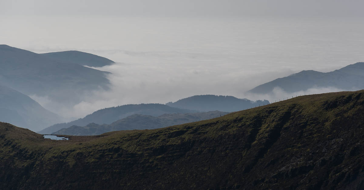
First Winter Day
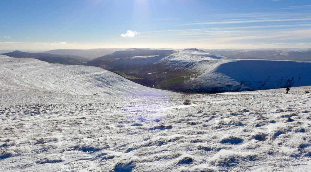
Black Mountains – 19-01-2015
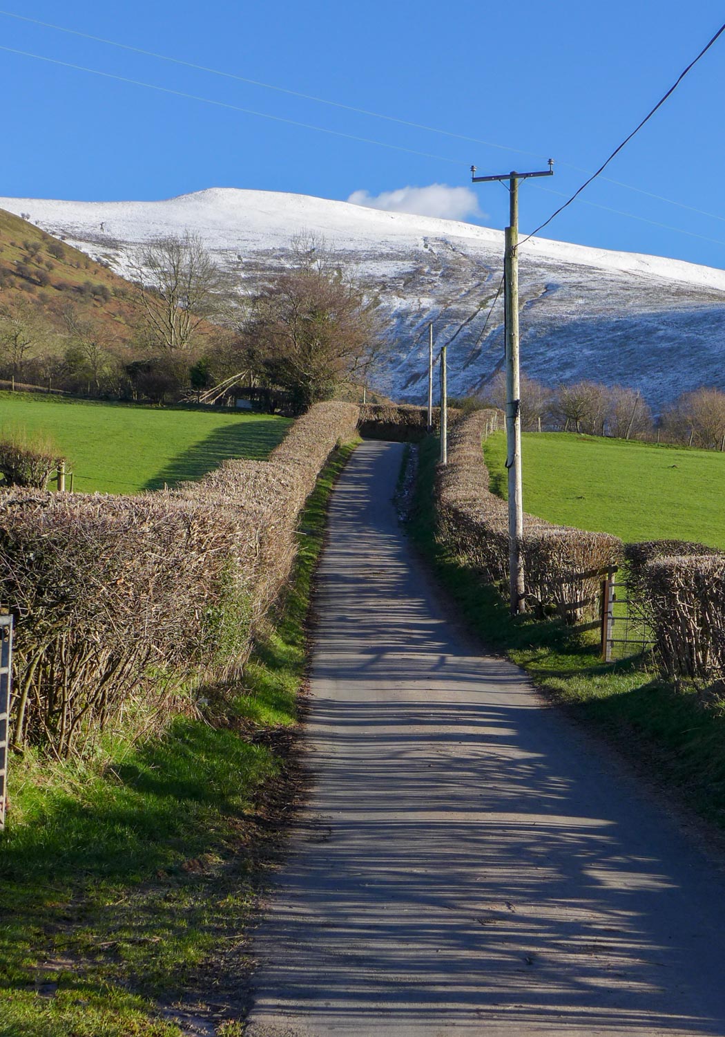
Having just replaced my long-suffering boots with a new pair, the weather forecast gave an ideal opportunity to bed them in. The amount of ice on the driveway and local roads meant that somewhere near was athe best option, so I headed south to the Black Mountains at the eastern end of the Brecon Beacons NP.
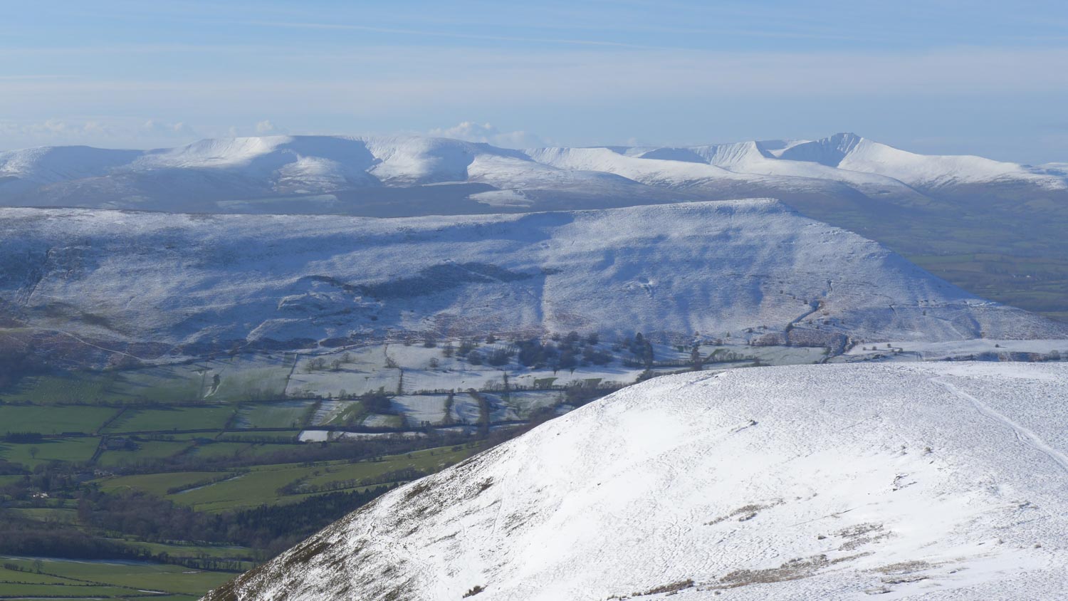
Plenty of snow was visible on the hills as I drove towards Hay and then Talgarth, so I was a little surprised that the ground was mostly free of snow and unfrozen at the bottom of Y Grib – the undulating ridge head onto the high ground.
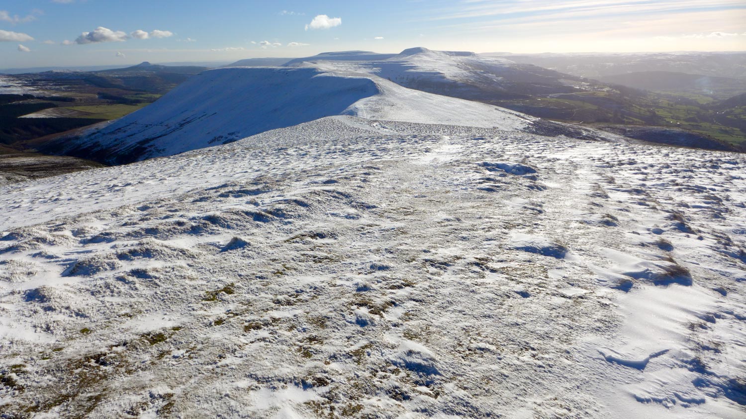
But after crossing over Castell Dinas and climbing out of the bwlch, there was no shortage. I followed the ridge up to the cairn, with Pen y Fan and friends impressively coming into view round the side of Mynydd Troed.
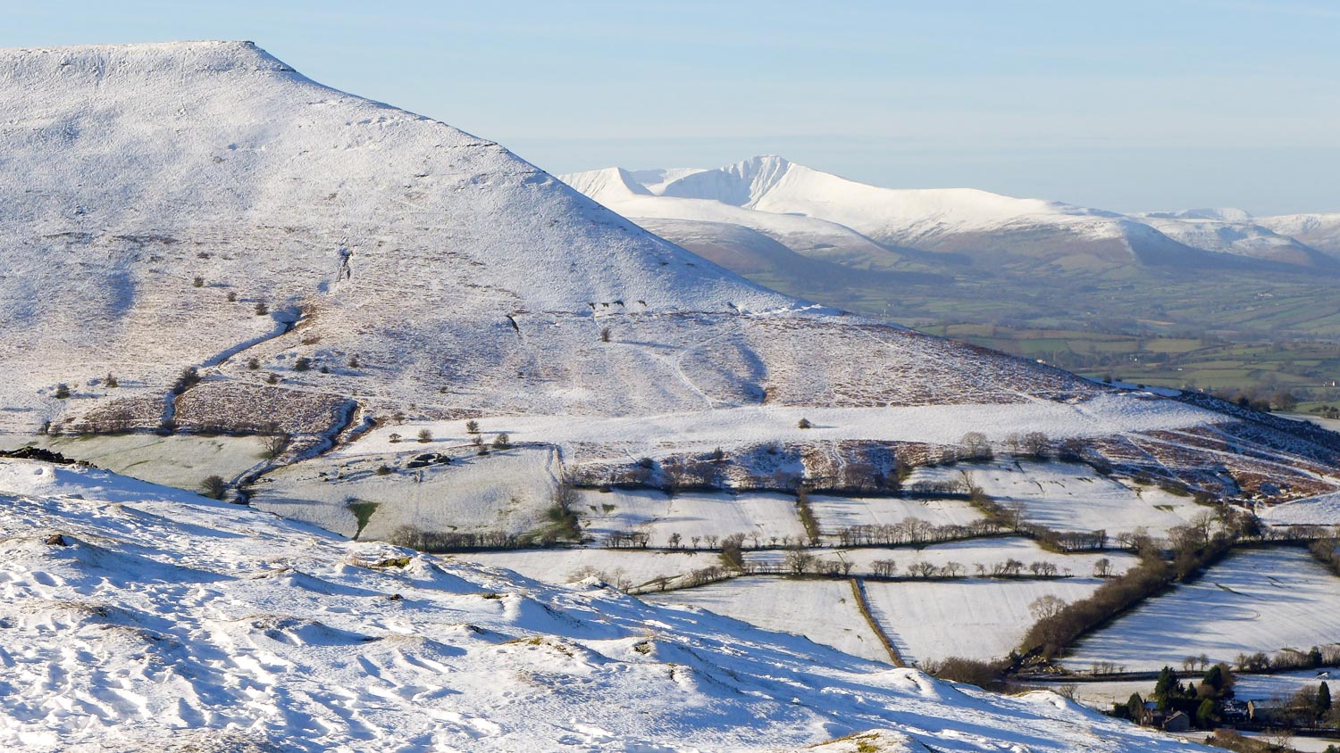
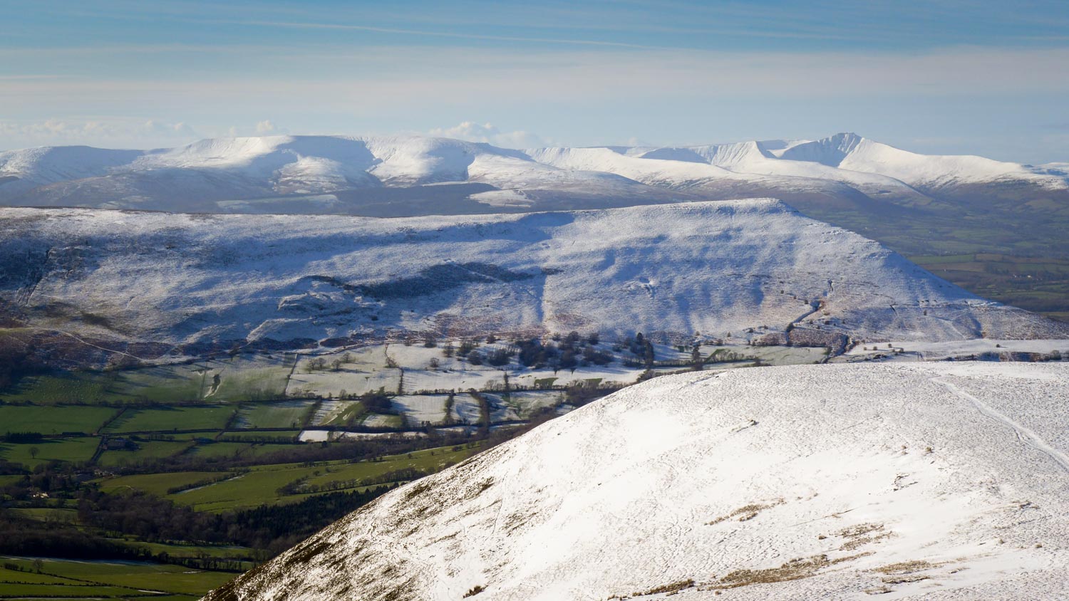
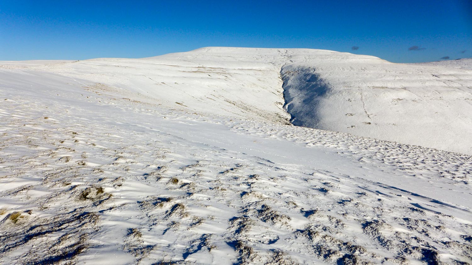
On the ridge, the snow mostly just inches deep – the wind scouring from the ridge and depositing it on the leeward slopes – but on the plateau towards Pen Y Mallwyn it was much deeper and unconsolidated, making every step an effort.
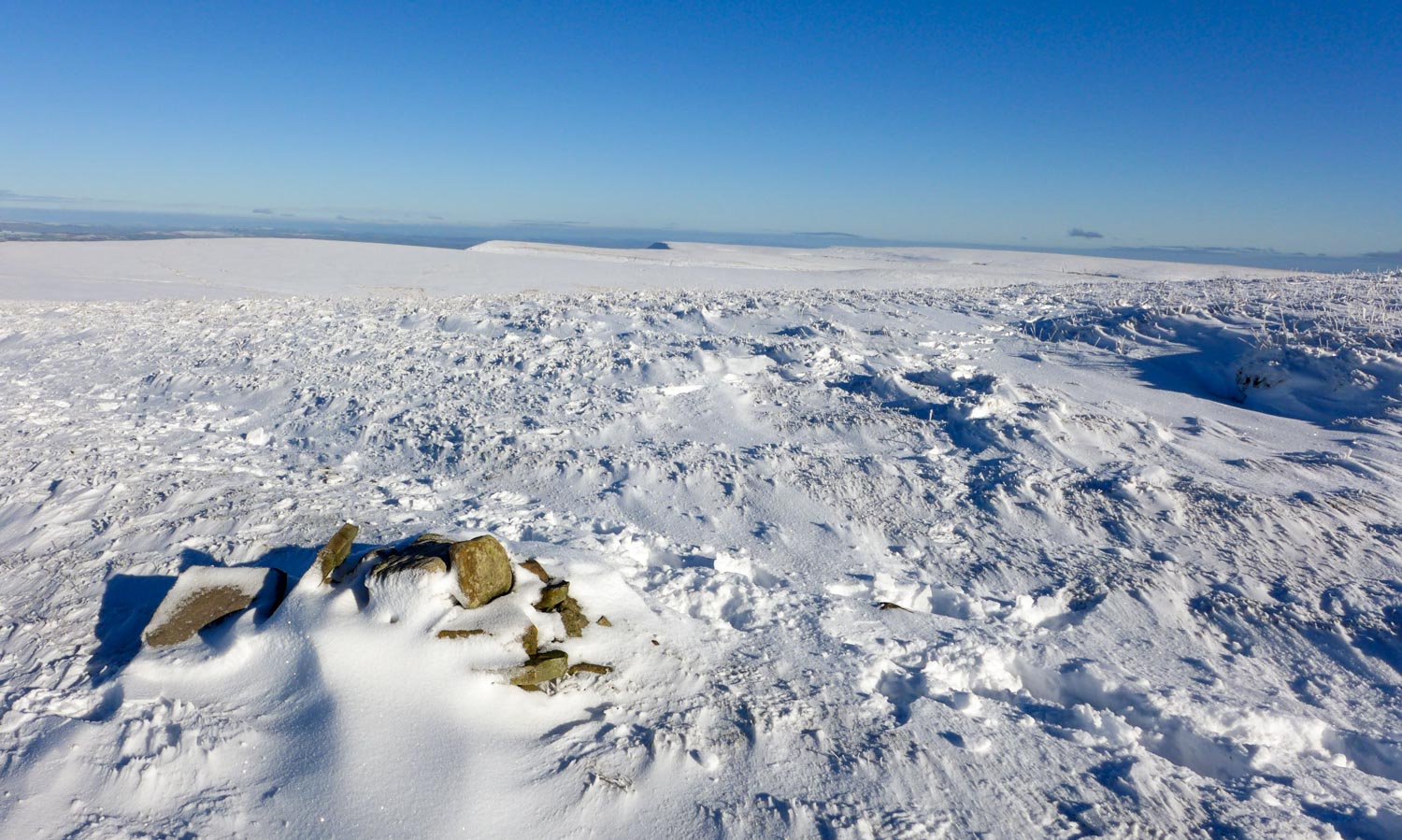
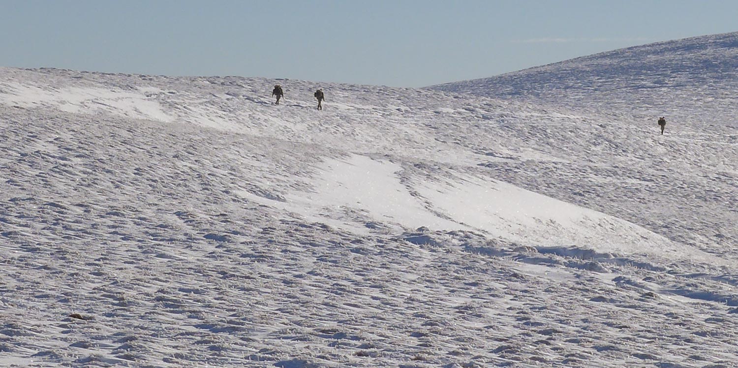
Much post-holing and floundering later, and I reached the ridge path heading towards Waun Fach. The snow again was a lot easier here, and I made good progress on the path to the summit plateau.
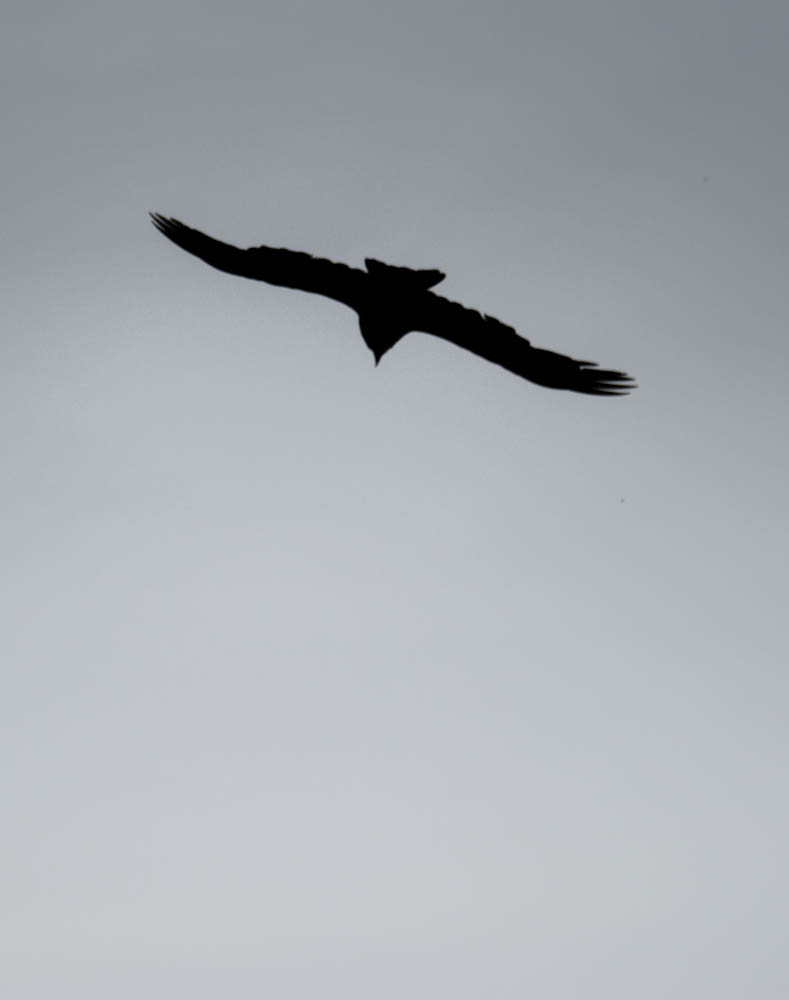
I’d seen figures on the skyline earlier, and now could see they were all carrying unfeasibly large packs. And the SA-8o’s were bit of a giveaway that this wasn’t a D of E award group out training.

After stopping for food, I took a wide loop round the summit plateau, before heading back to the car via Pen Trumau
Tryfan
About three years ago I’d been up the north ridge of Tryfan with Rob. While this ‘ticked’ the summit, I’ve never repeated the route on my own. Yesterday’s forecast for light winds and dry rock, so it seemed an ideal opportunity.
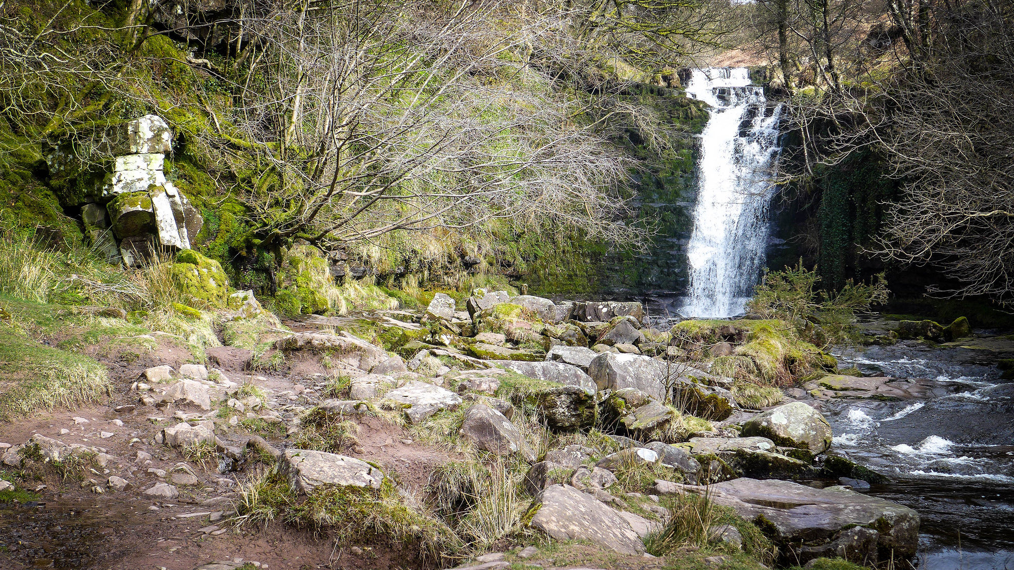
Parked up at the foot of the Milestone buttress, I followed the obvious path up. Unfortunately I missed the less obvious fork onto the North ridge and found myself traversing towards the Heather Terrace. I backtracked and found a route up a damp gully which brought me to a familiar spot a little below the Cannon.
From here the route up was clear and took me to the flat area at the base of the North Tower.
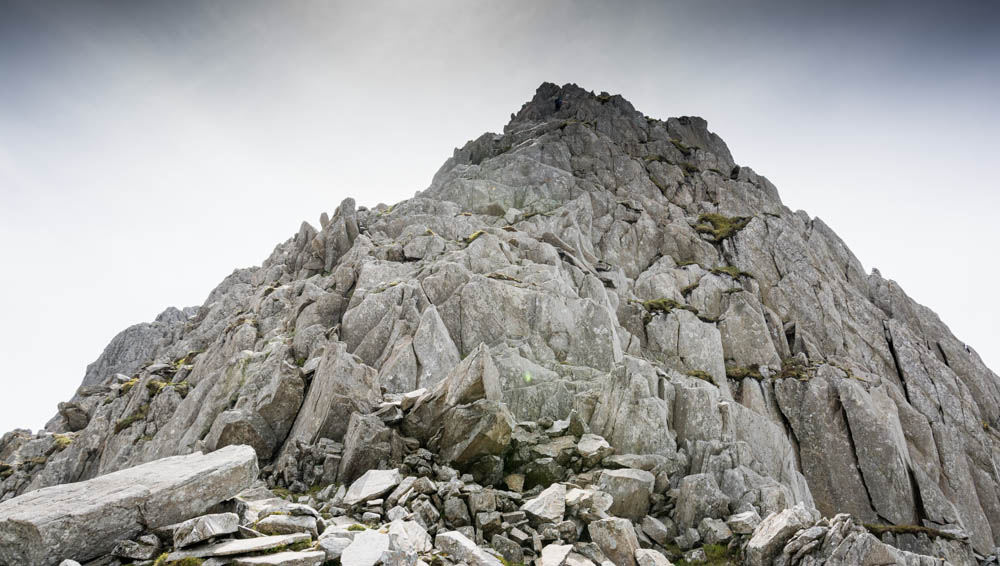
The North Tower is the most difficult part of the route, and I spent a good 40 minutes trying to find a route up that I was happy to do. Lots of false starts both to the east and west that took me onto ground that was well beyond my (failing) confidence level. At least I was getting lots of good practice in downclimbing – something that I usually have problems with. Crampon marks everywhere didn’t help me much.
Eventually I did the sensible thing and sat down with food and water, and waited for inspiration. It came in the form of another walker who carefully but confidently scrambled up the centre line of the tower. I watched where she’d started from, and went back for another shot. Knowing somebody else has been that way made a huge difference, and after the first section the scrambling gradually became easier until I reached the ‘notch’ below the North summit. This was easily dispatched, and I was soon standing by Adam and Eve on the main summit.
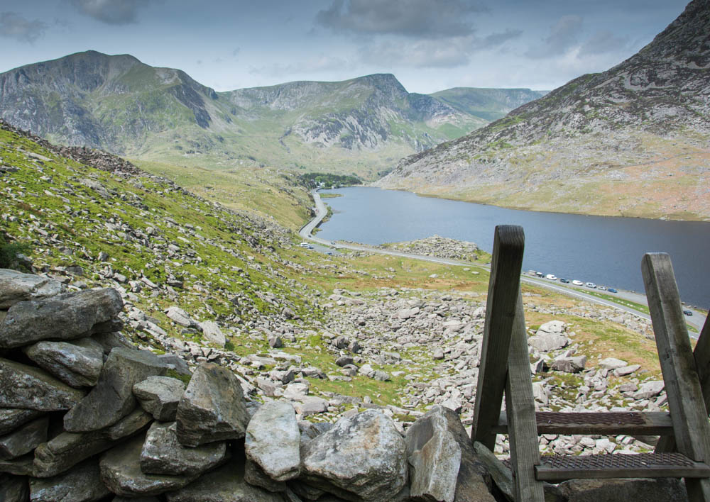
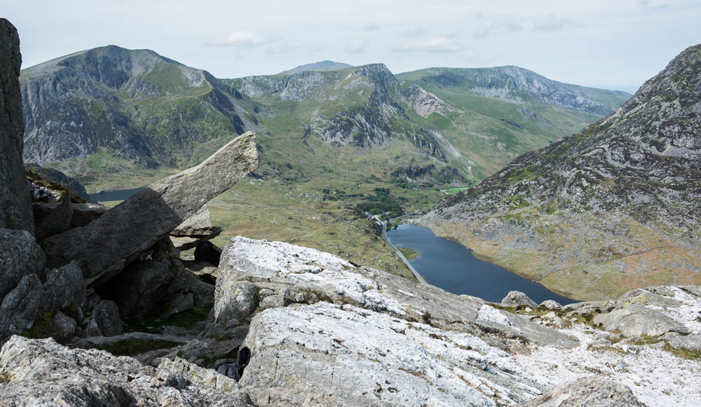
I traversed round the south summits and into Cwm Tryfan. I was a long way behind my initial timing estimate, so I was tempted to make my way back to the road – but with the weather staying good, and plenty of time before dark I opted to stick with the plan of walking the main plateau and dropping back down to Ogwen via the Devil’s Kitchen.

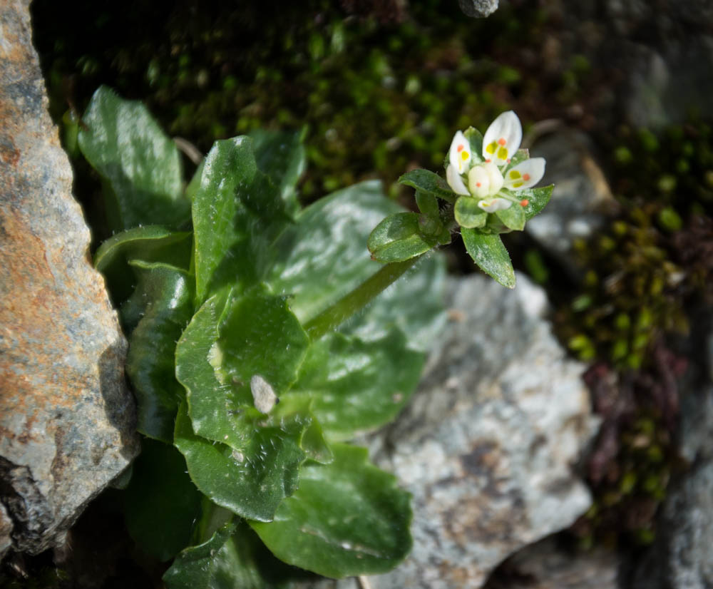
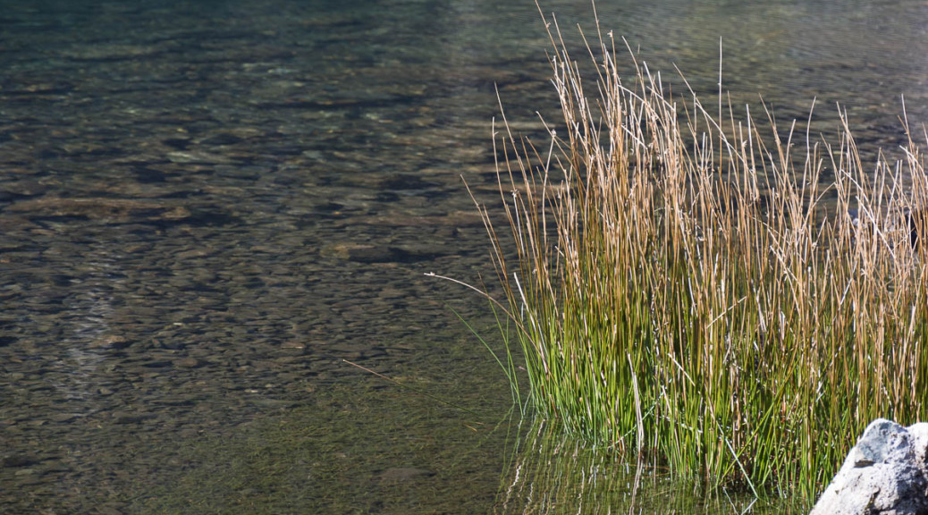
Rather than deal with Bristly Ridge or the screes, I took the Miners path round the head of the cwm. This is part of the route that the miners working the copper mines on Snowdon would have followed back to their homes in Bethesda every week. At the top of the path by the edge of the plateau a very lonely Starry Saxifrage was hiding by the stream
It was an easy walk from here across Glyder Fach and Fawr, and even the notorious screes down to Llyn Y Cwn didn’t seem to bad. But, tiredness kicked in properly on the knee-jarring descent of the Devil’s Kitchen, and I was relieved when the path finally levelled off as you approach Llyn Idwal.
Minfford Trail to Cadair Idris
Cadair Idris 13/3/2014
Newtown, being right on the Severn was full of valley fog when I drove through, but by the time I’d reached Corris there seemed to be nothing but blue sky – a stark change from Sunday’s low clouds on the ascent.
It’s a long, steep climb up the well-constructed steps that start just past the new (but closed, today) Tea Room at the foot of Cadair Idris, but with the sound of the stream rushing down the mountain you gain height very quickly. Shortly after crossing a stone wall the trees are left behind and the open hillside beckons.
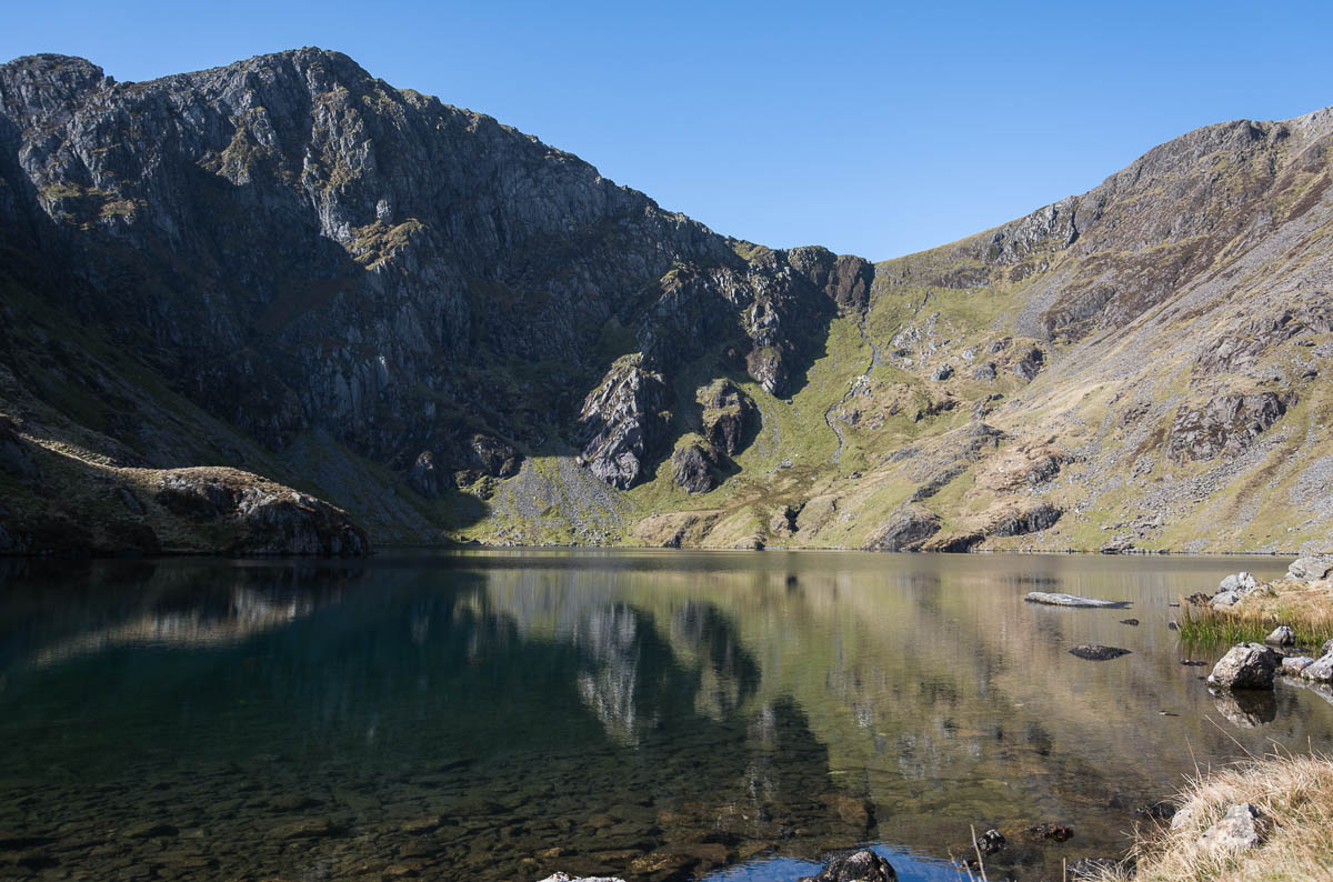
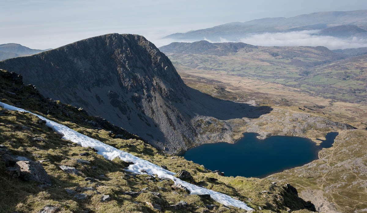
A more gentle climb from here takes you to the shores of Llyn Cau – somewhere that’s so stunning it always makes me feel good to be alive – and likely as not, yours to savour alone.
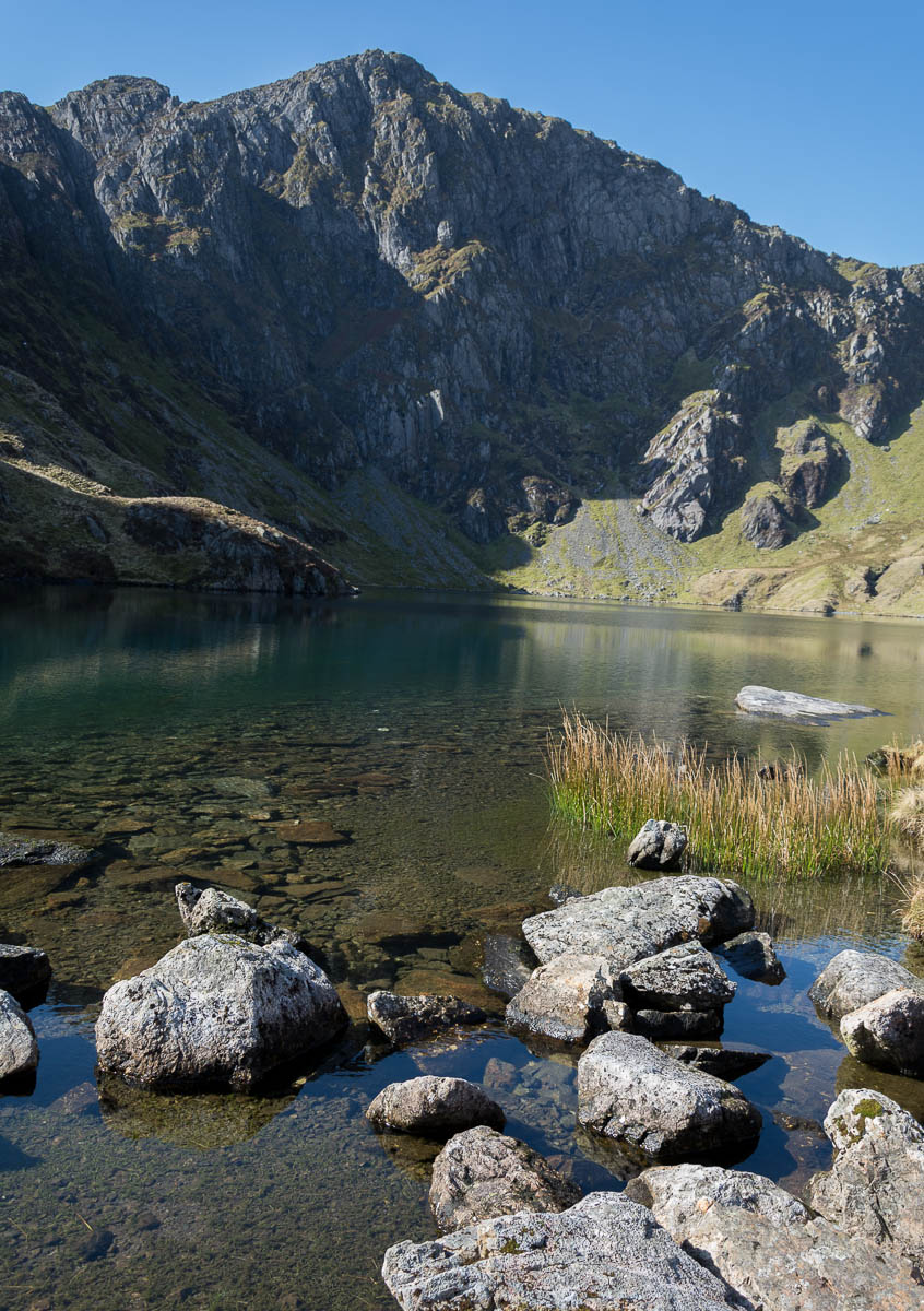
To reach the lake shore, you’ll need to leave the main path briefly – but this gives a chance to catch your breath before the climb onto the ridge.
The path from here is heavily cairned in places, but has spots with dizzying views down to the llyn far below. The sun was beating down now, and there was hardly a breath of wind.
Looking towards the sea, the fog was trying it’s best to roll in, but the sun wasn’t giving it much of a chance. Eventually you’ll reach the ladder stile and fence, with the summit of Craig Cau immediately beyond, giving great views of Penygadair – the next objective.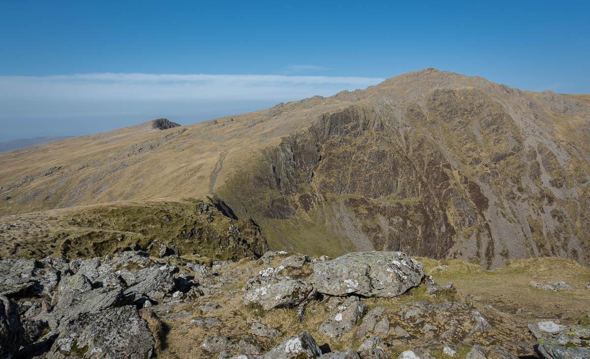
 The trig point was busy, so I headed towards Mynydd Moel before grabbing a quick lunch. There was still some snow in the north-facing gullies, but nothing at all on the plateau.
After pressing on to Gau Craig, I looked at return routes., and decided to try a path following a fenceline to the southeast, which would then let me follow the old track parallel to the A487 back to the car. The path is steep and loose at first, with some scrambling required to wind through the crags on the East face.
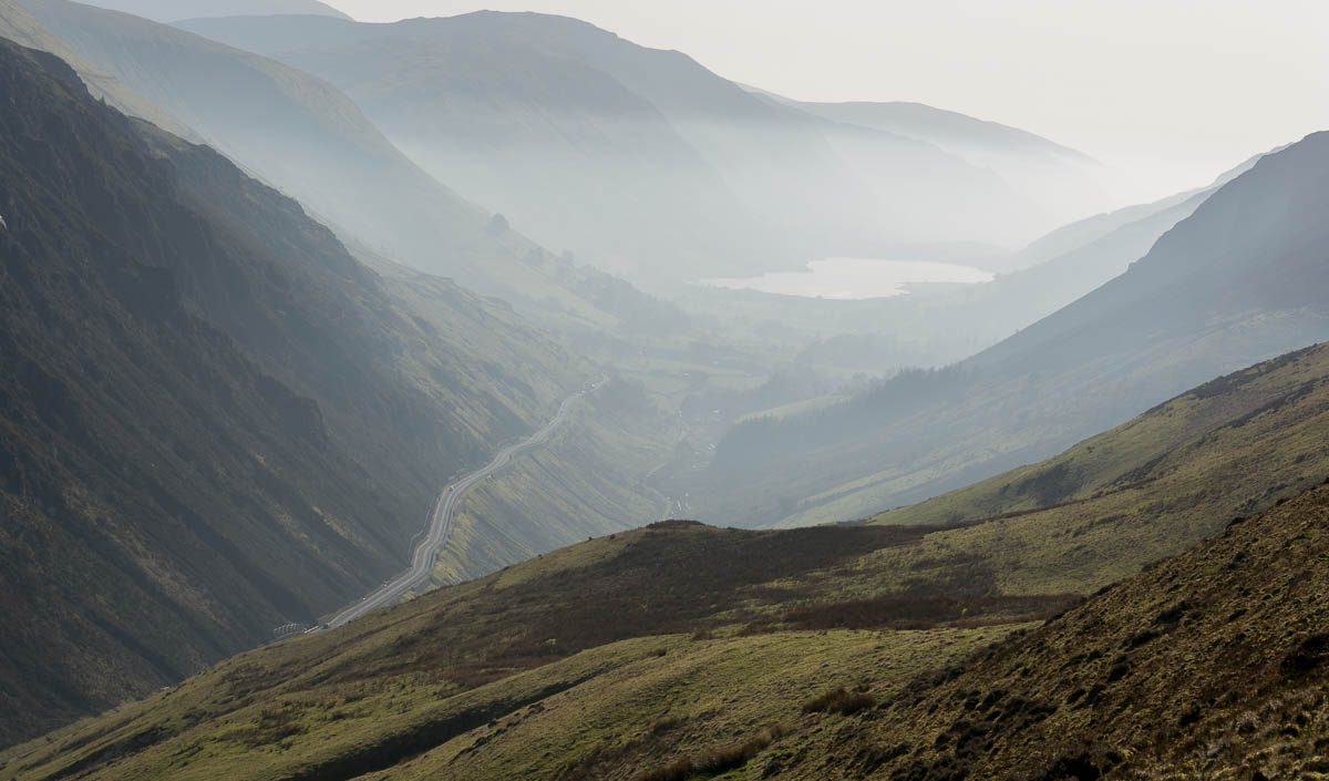 From here, a much gentler path continues down to the road, and the old track through Cwm Rhwyddfor avoids the road for most of the way.