Category Archives: Walk Reports

Day 3 : Stob Ban

7-March-2012

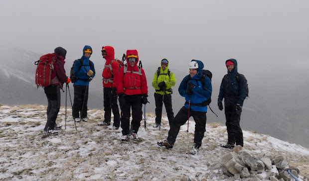
As if to apologize for yesterday’s rain-fest we were treated to a spectacular mountain day today, climbing Stob Ban in the Mamores.

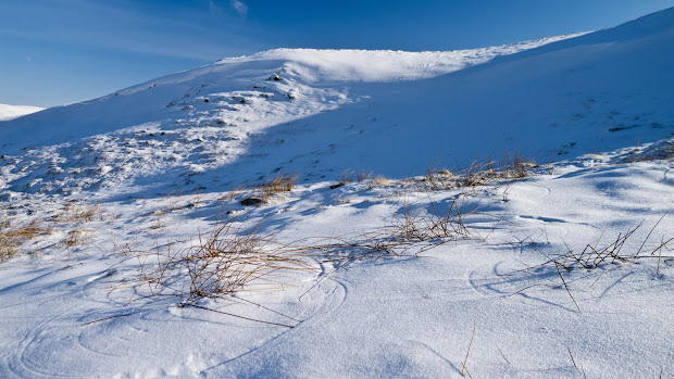
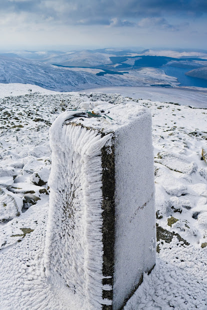
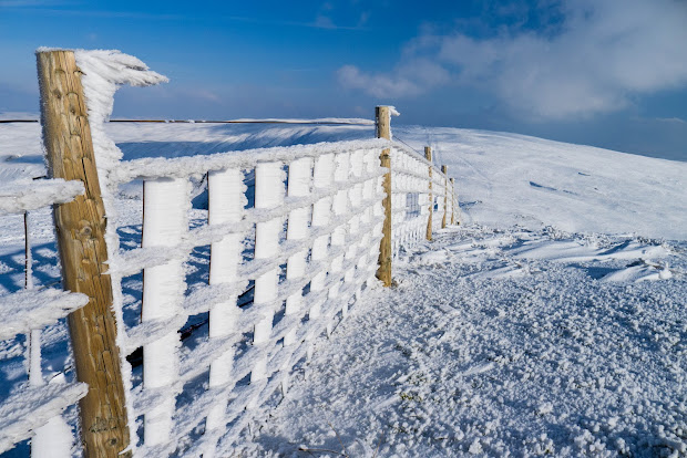
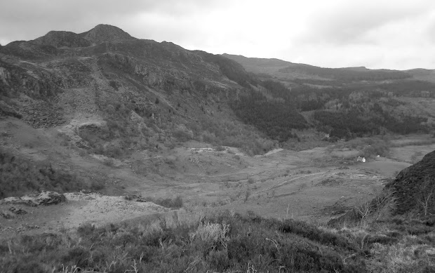
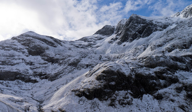
The forecast was for intermittent snow showers (rather than rain), with gusting winds and occasional blizzard conditions, and we had all of that – but interspersed with moments of blue skies and sunshine. From the car park in Glen Nevis we walked up the left of the stream into the corrie. there was little to worry about in terms of avalanche risk, with just ankle deep powder and graupel on the ground.

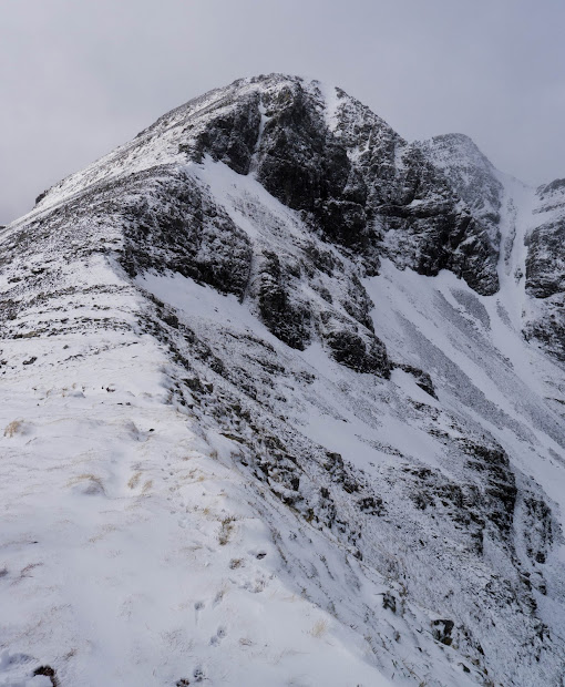
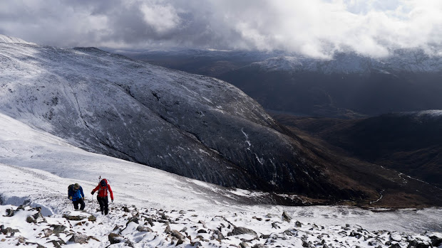
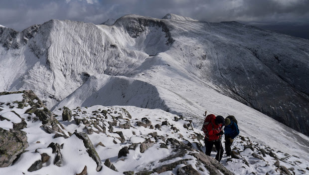
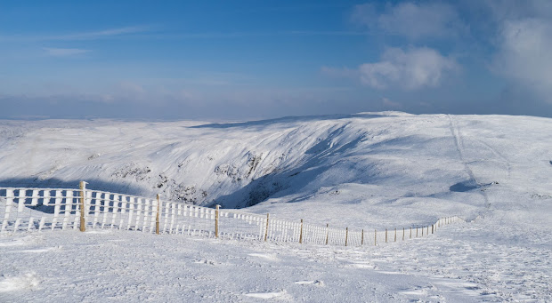
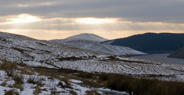
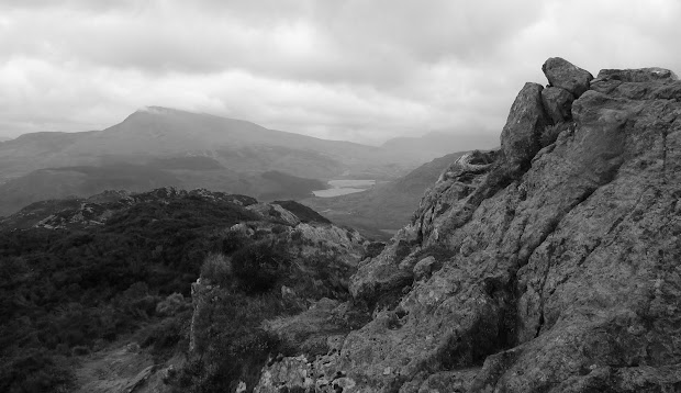
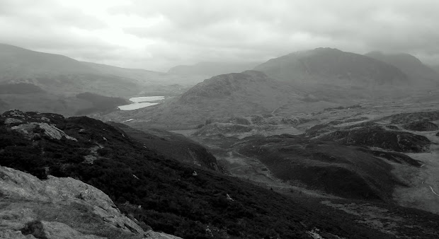
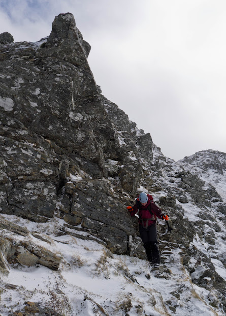
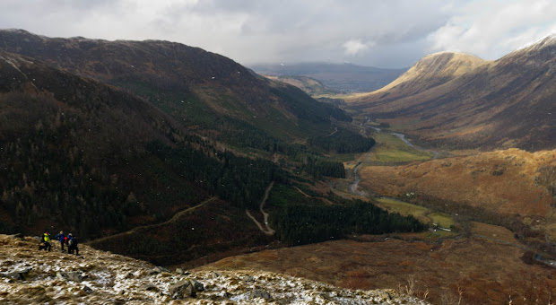
The views were at their best here, with the Aonach Eagach across the glen in front of us. Crampons were left off for the the rocky climb up the East ridge over loose quartzite boulders to the summit. We headed onwards down the north ridge, with some interesting sections of narrow ridge and scrambling on the descent.

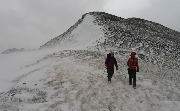
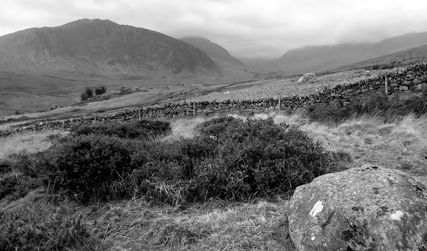
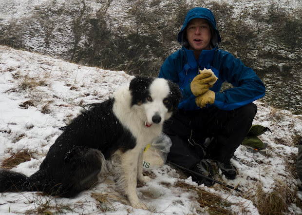
The wind was picking up noticeably now, and the blown snow made for poor visibility at times before we reached the boggy (and incredibly slippery) ground for the last couple of K back to the cars.

Download file for GPS

High Street and Harter Fell

I’m. on my way to Fort William for a five-day winter skills course with Rob. The forecast is finally looking good,  with snow forecast for tomorrow. Rob’s ‘snow dance’ must be working.

There wasn’t much of it in evidence today though, with the fells pretty much bare.

Rather than drive up in one day I stopped in the Lakes on the way up. The “Far Eastern” fells are a short drive off the motorway from Shap, and I was parked at Mardale Head, at the far end of the Haweswater reservoir by 11:30. After a bit more kit faff than usual I was heading up the ridge towards Rough Crag. The ridge is a gem – steep drops down to either side without feeling exposed, and plenty of easy hands-on stuff as you head on and up towards High Street.

The weather on the way up was a bit of everything: Hail, a bit of snow, rain, all mixed together with a very generous helping of wind. The northern side of the ridge was very sheltered, so there were plenty of opportunities to escape the wind.  The summit of High Street was in cloud most of the time, but the lower tops of Harter Fell and Mardale Ill Bell occasionally peeked out from underneath it. I stopped to have a bite after the hail stopped, and was rewarded with glorious view back down the ridge over Haweswater, complete with rainbow.

From High Street, it’s an easy walk over Mardale Ill Bell, with views down to the tarn of Blea Water, followed by an incredibly blustery crossing of the Nan Bield pass before the wind abated on the climb to Harter Fell. Again, great views here on the descent of the crags on the northern face.

Blae Water

Lots of folk out on the hills today despite the weather, and despite this being one of the ‘quietest’ parts of the Lake District. I guess I’ve been spending too much time in Wales.

Onwards to Ft. Bill…


The Frozen Sponge

Pumlumon : 2/2/2012

Despite living just on the ‘wrong’ (Shropshire) side of Offa’s Dyke,  Powys always feels rather like ‘home’. We regularly visit or shop in Newtown, Welshpool, Llani and Hay, and many of my favourite hills are in Powys: The Black Mountains, Mynydd Du, and of course, Pumlumon (although the border with Ceredigion runs along the plateau).

I chanced upon Mike Parker’s “Real Powys” recently, and it’s one of the most entertaining books I’ve read for a long time. It’s billed as a ‘psychogeography’  of Powys – but don’t let that put you off: It’s sharply written, very funny and stuffed full of odd details and great anecdotes while underneath it all runs a huge dose of affection for his home county. If you live in or near Powys – or even just fly in occasionally to T3 at Llandegley International Airport, it’s a great read.

However, I suspect Pumlumon isn’t one of his favourite mountains. He describes it as:

Pumlumon … that great upland sponge that squats like a fat toad at the centre of Wales. At least the grey miasma oozing out of the slopes had successfully blotted out most of the two hundred wind turbines that now encircle it

Unlike him, I seem to be always drawn back here. When I can’t make my mind up where to go, the answer is always this: Pumlumon. While the convenience is a factor, the remoteness is the magnet that brings me back time and again. As I’ve mentioned before, there’s plenty of signs of man’s presence here, but hardly anything that feels ‘contemporary’. Even the Outdoor Centre at Maesnant looks as though nobody has stayed there for years. With the remains of unused sheepfolds and age-old cairns, it can feel like a dead landscape, just waiting to be explored .

And on a day like Thursday, when it’s cold, white, and the wind has filled the paths and footsteps of everyone else with blown powder snow, it’s just a great place to be.

Download file for GPS

Monochrome

Crimpiau and Craig Wen – 20/1/2012

Yesterday, I found myself on top of Bury Ditches hillfort with the dogs, a glorious sunset, and a camera.

Sadly, the camera claimed there was “No battery power remaining”. (Splitting hairs: How did it manage to display that message, then?) So, no photos.

But today I’m in Snowdonia (writing this now in the Tanronnen Inn in Beddgelert – good pub food) and have a fully charged camera. But, not a glimmer of sunlight – cloud everywhere.

Met Office Mountain Forecast

The forecast this morning was pretty grim, so I decided to wait and see what looked sensible when I got there. All the high hills were cloaked in cloud, but Creigiau Gleision and the other hills NE of Capel Curig looked OK for a quick afternoon outing – and, the rain seemed to have held off.

Path to Crimpiau from Capel Curig

I parked up behind Joe Brown’s, and headed up towards Crimpiau. Even with the cloud, the views are pretty stunning. There are few places in the park where you can see both Llyn Ogwen and Lynnau Mymbyr. Looking northeast, the valley holding Llyn Crafnant looked worth exploring as well on another day.

Crafnant Valley from Crimpiau

Lynnau Mymbwr from Crimpiau

I dropped down into the bwlch leading up to Craig Wen, and the wind was really picking up, with gusts up to 45MPH. From here, a wall shows the obvious route up towards the top. Craig Wen has two adjacent tops which seem almost identical in height – I guessed (correctly, it transpires) that the furthest one was the higher. I passed on the scramble up wet, moss-covered rocks from the south, and found a simple walk up from the other side.

Tryfan and Glyders from Craig Wen

With the wind still strong – and limited daylight – I headed down across country to the bridge over the leat below Llyn Cowlyd. From here there’s a good, if muddy, path back to the A5 and a few 100 metres of road back to Capel Curig.

Gallt yr Ogof


Cup Lichen

Download file for GPS